RustGIS
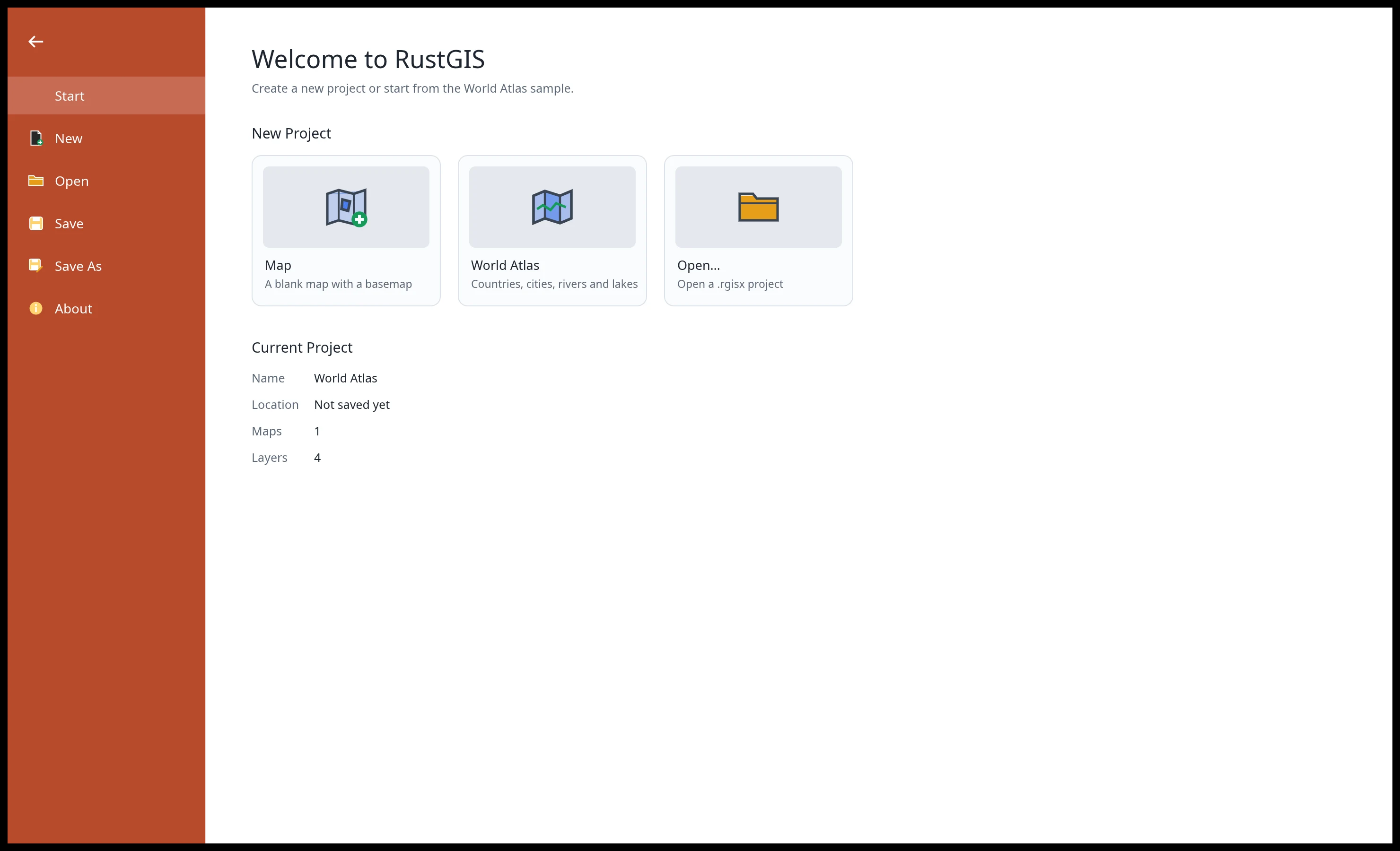
A fast, free and open-source GIS in pure Rust for mapping, analyzing and sharing geospatial data.
RustGIS runs natively on Windows, macOS and Linux, and in your web browser. Your data stays on your machine unless you send it to an AI model you choose, and every action is a command you can script from the command line, a notebook or the AI Assistant.
Try it in your browser Download Get started Compare
Highlights
-
Your data, any map
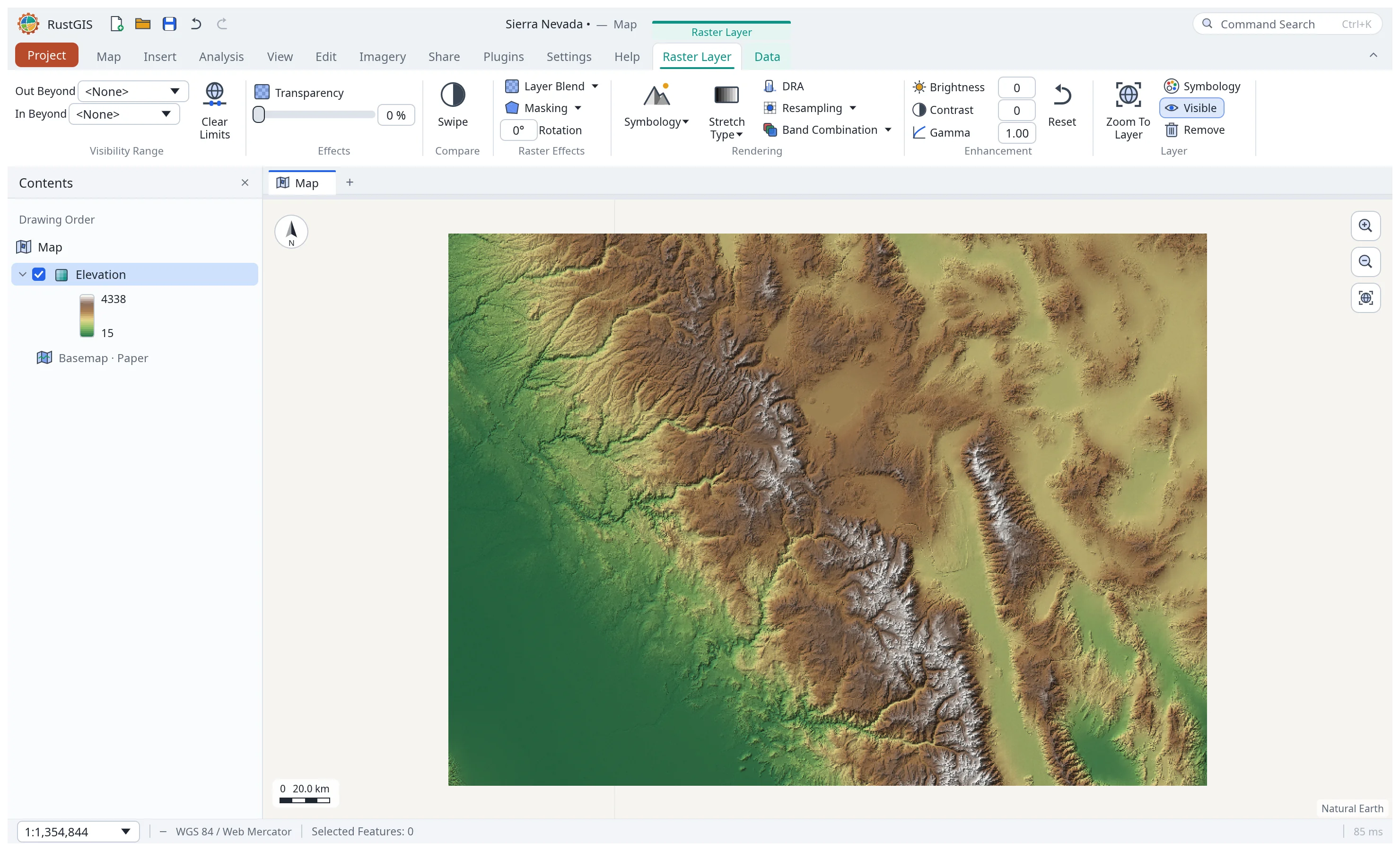
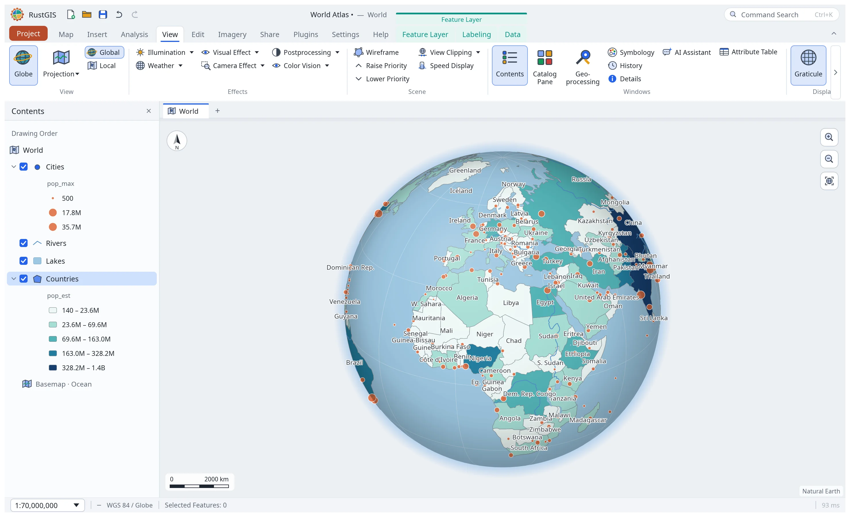
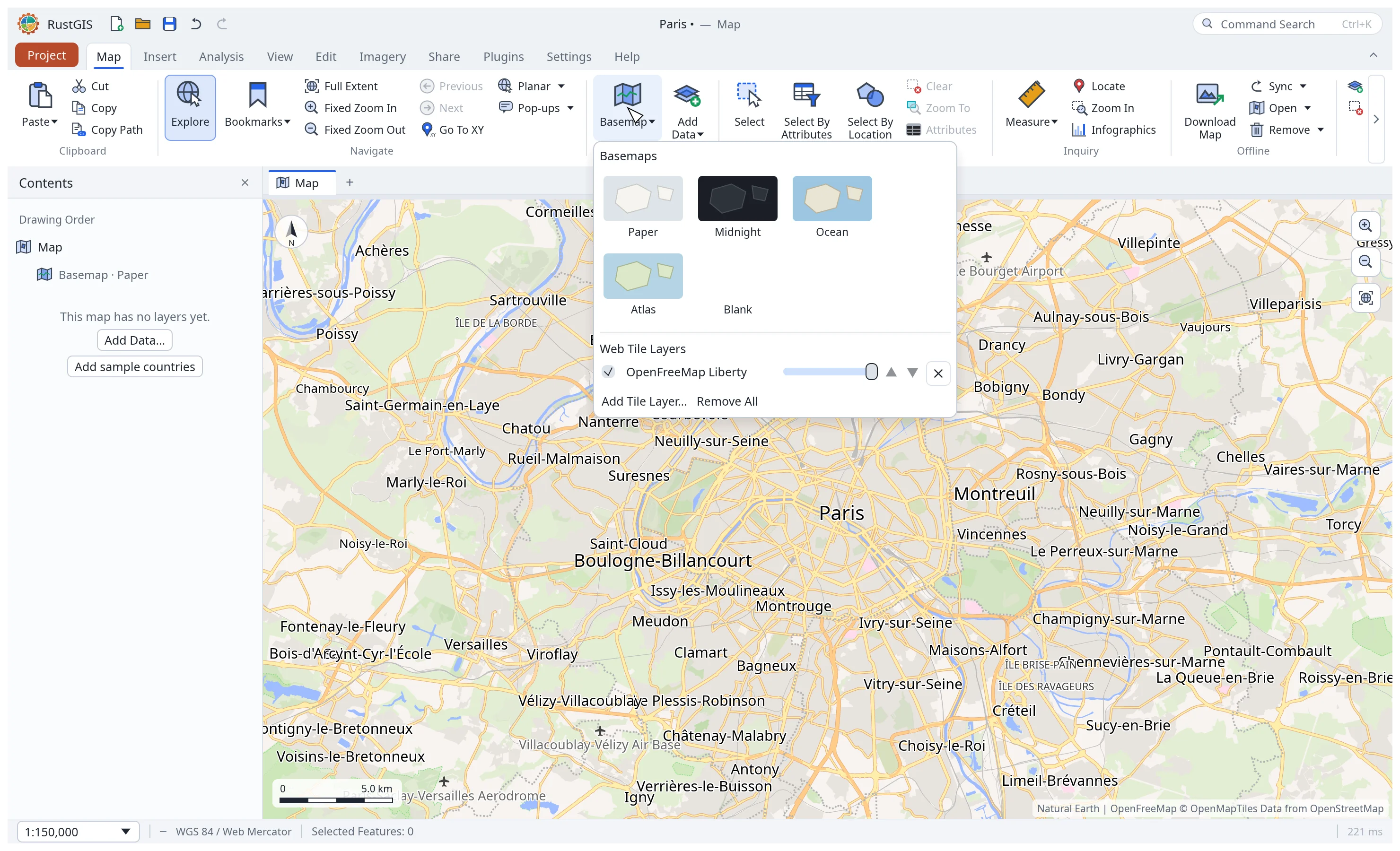
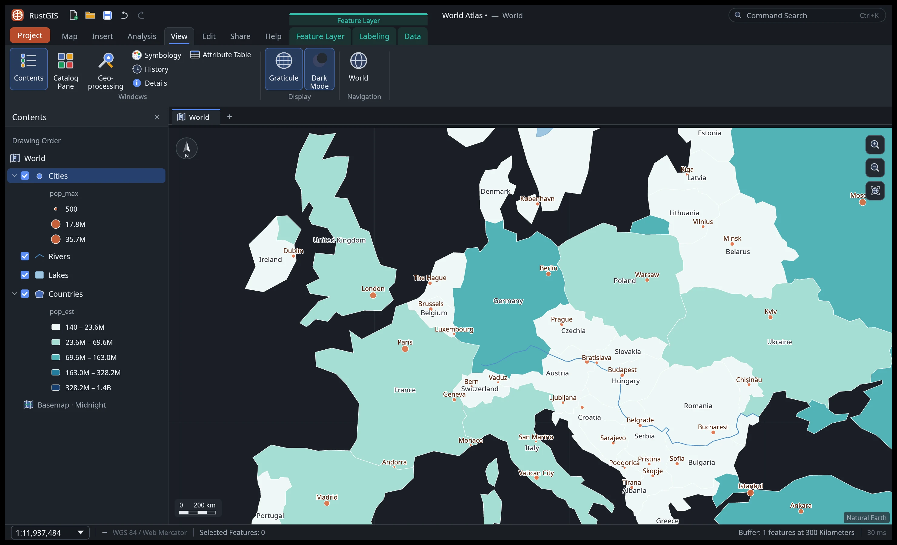
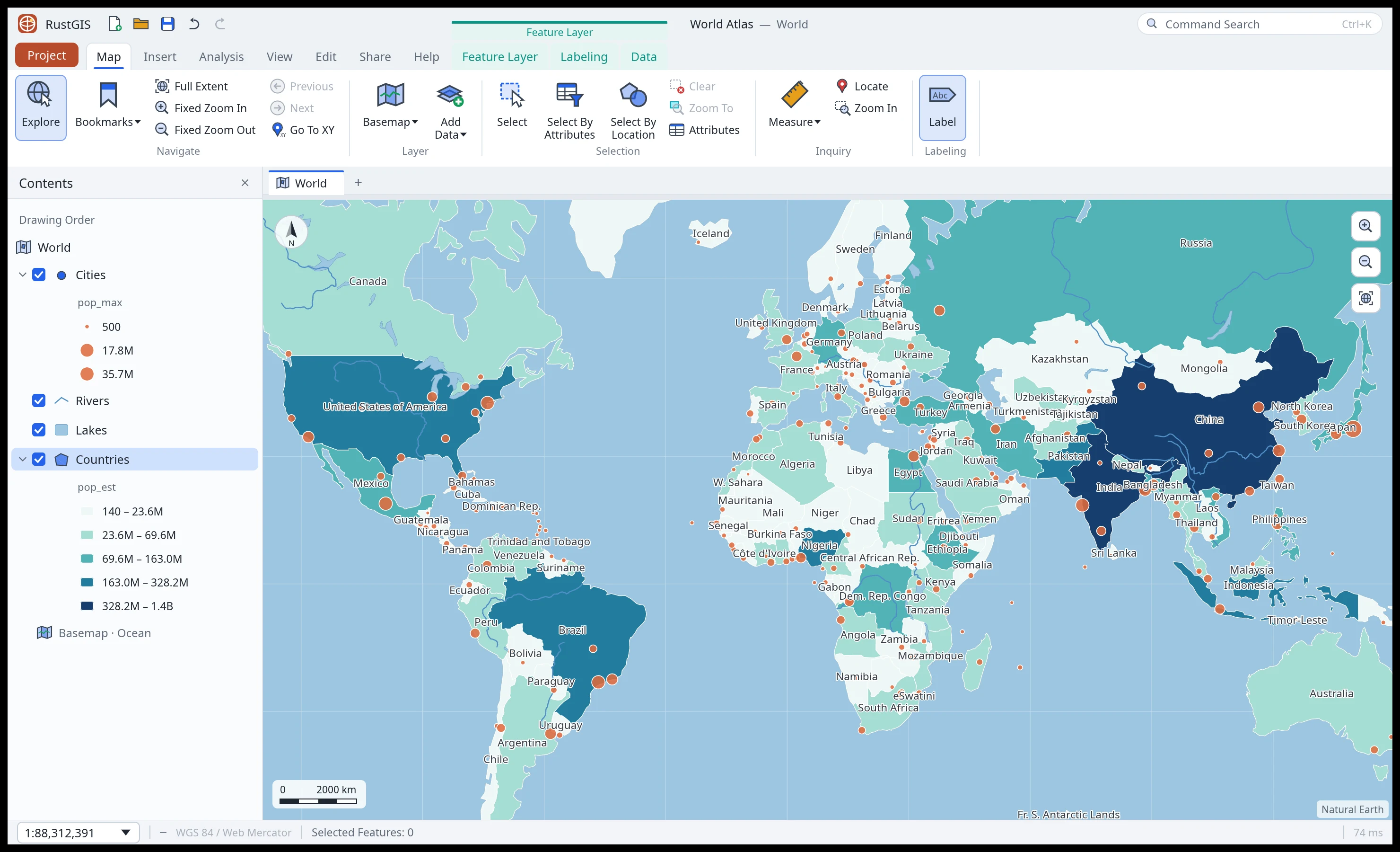
GeoJSON, CSV, Shapefile, GeoPackage, GeoParquet, FlatGeobuf, GeoTIFF and cloud-optimised GeoTIFF, web tiles, vector tiles and MapLibre styles, drawn on a 3D globe or in any projection. Data · Maps
-
Cartography
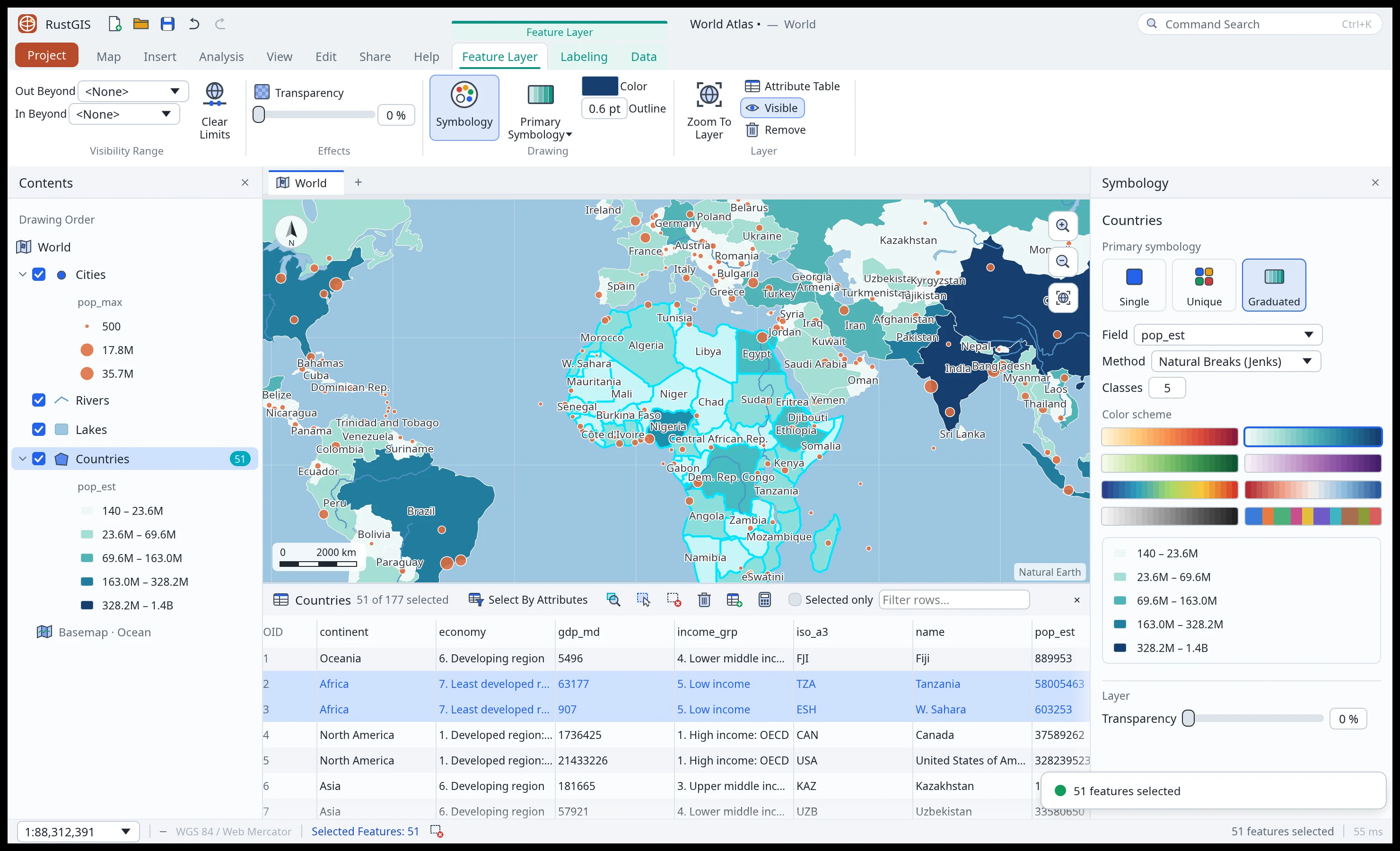
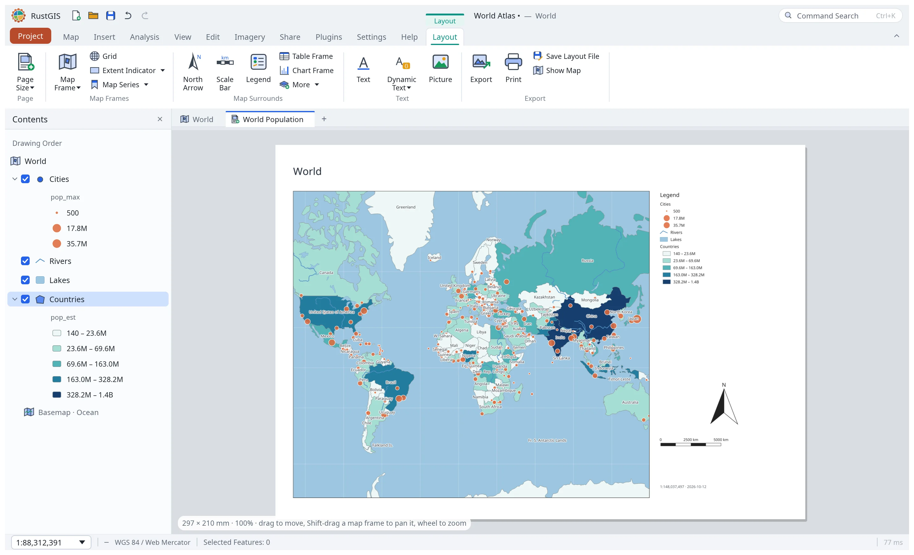
Unique values, graduated colours and proportional symbols, collision-free labels, effects, extrusion, page layouts, map series, reports and presentations. Cartography · Layouts
-
Analysis
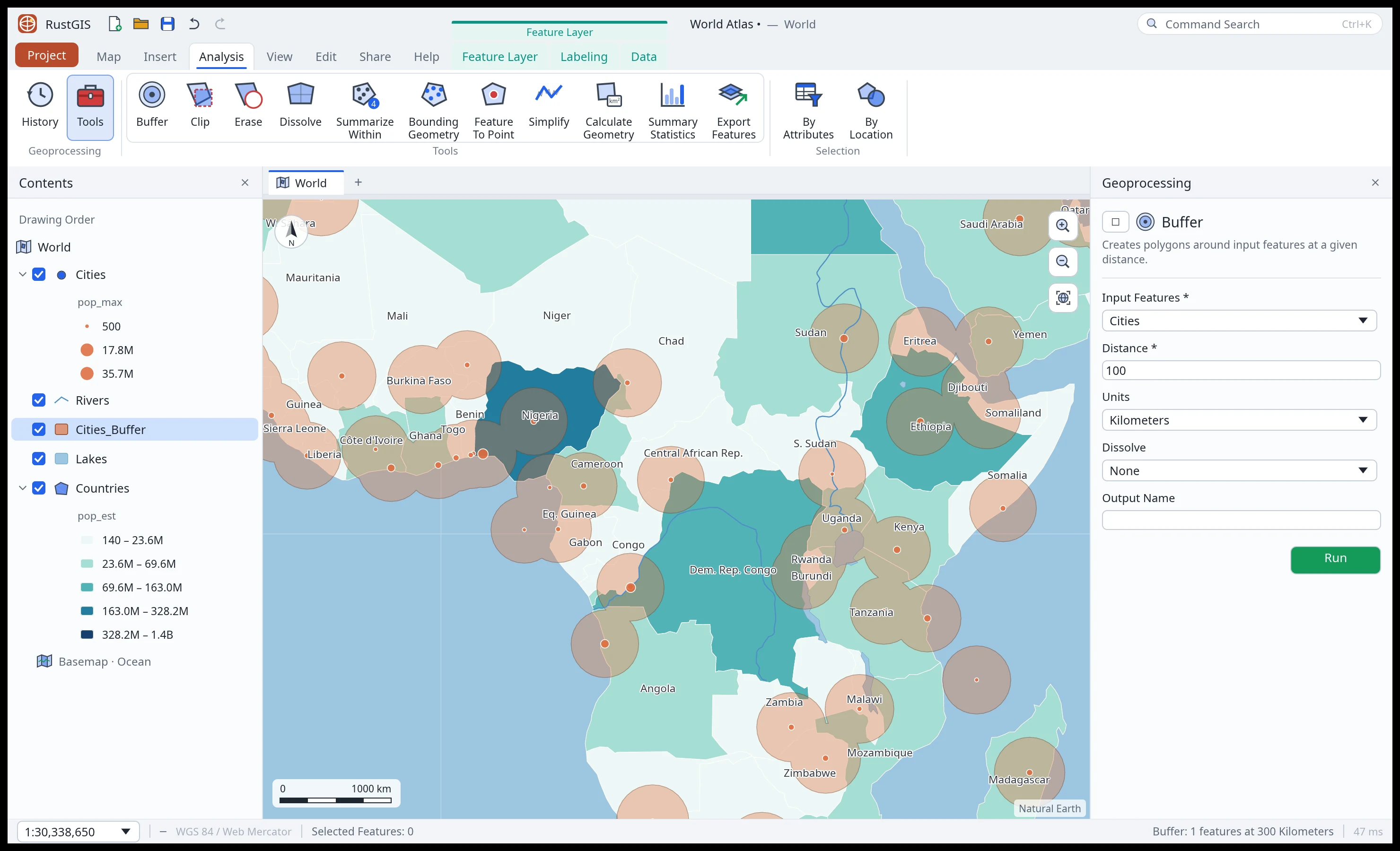
SQL selection, overlay and proximity tools, guided workflows, ModelBuilder, imagery tools and over 1,000 GeoLibre and Whitebox tools for terrain, hydrology and LiDAR. Analysis
-
Editing
Create and modify features with snapping and templates, keep attributes valid with domains, subtypes and rules, and undo anything. Editing
-
AI Assistant
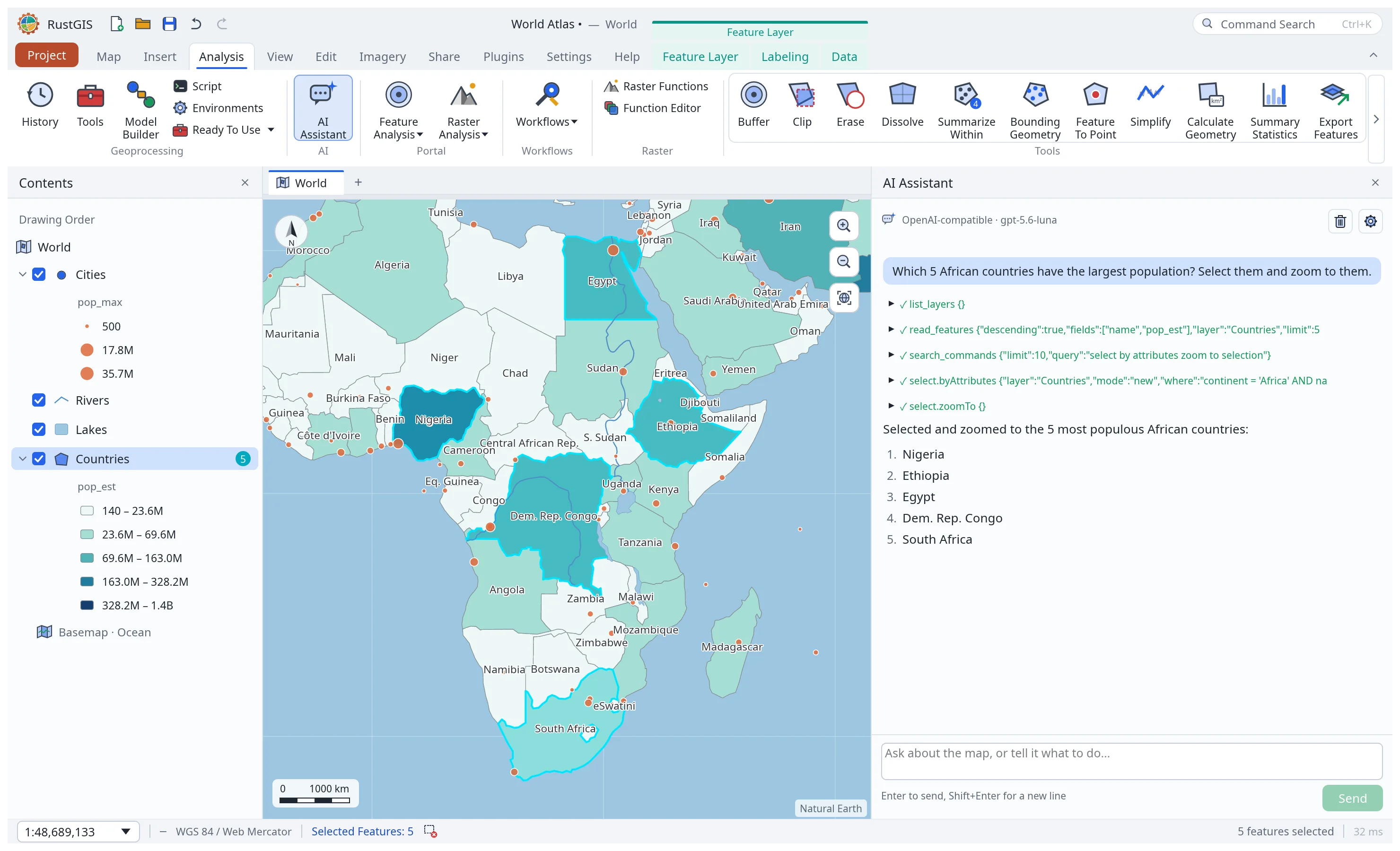
Ask about your data or tell the map what to do. The assistant runs RustGIS commands with the model you choose, and every change can be undone. AI Assistant
-
Scriptable and extensible
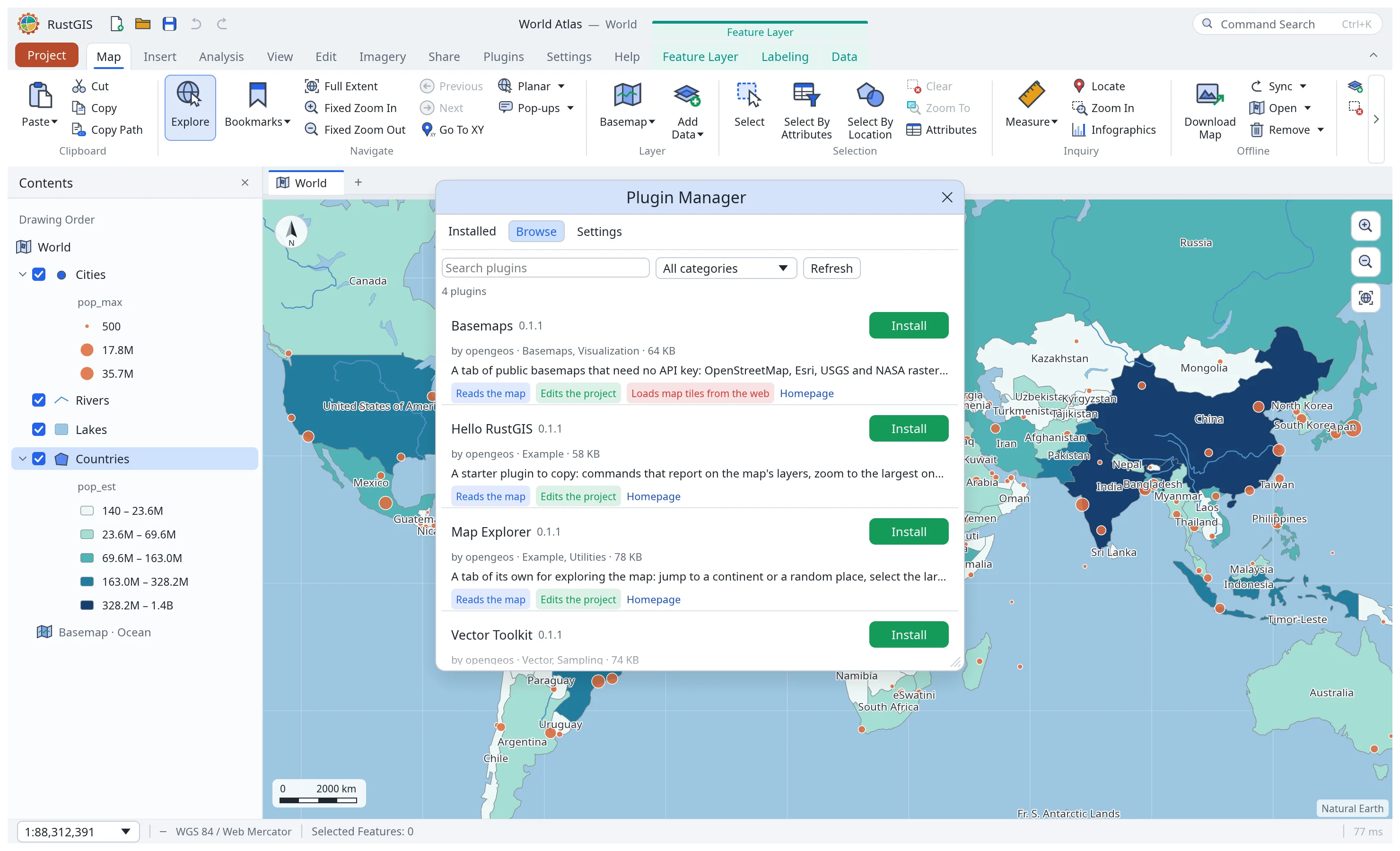
rustgis-cliruns any command by id, renders maps and chains tools; its MCP server lets AI agents make maps; sandboxed WebAssembly plugins add commands, tools and ribbon tabs. Command Line · MCP Server · Plugins
A tour