RustGIS
A fast, open-source desktop GIS in pure Rust, with a familiar ribbon workflow.
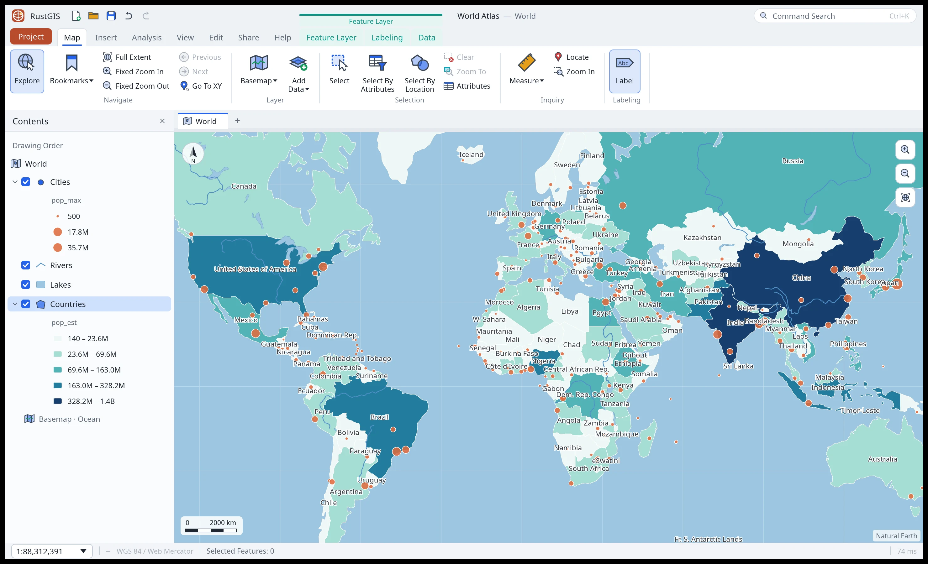
Maps and layers, symbology, labeling, selection, editing, geoprocessing and export, in a native GPU-rendered app for Windows, macOS and Linux. Every action is a command you can also run from the command line.
Highlights
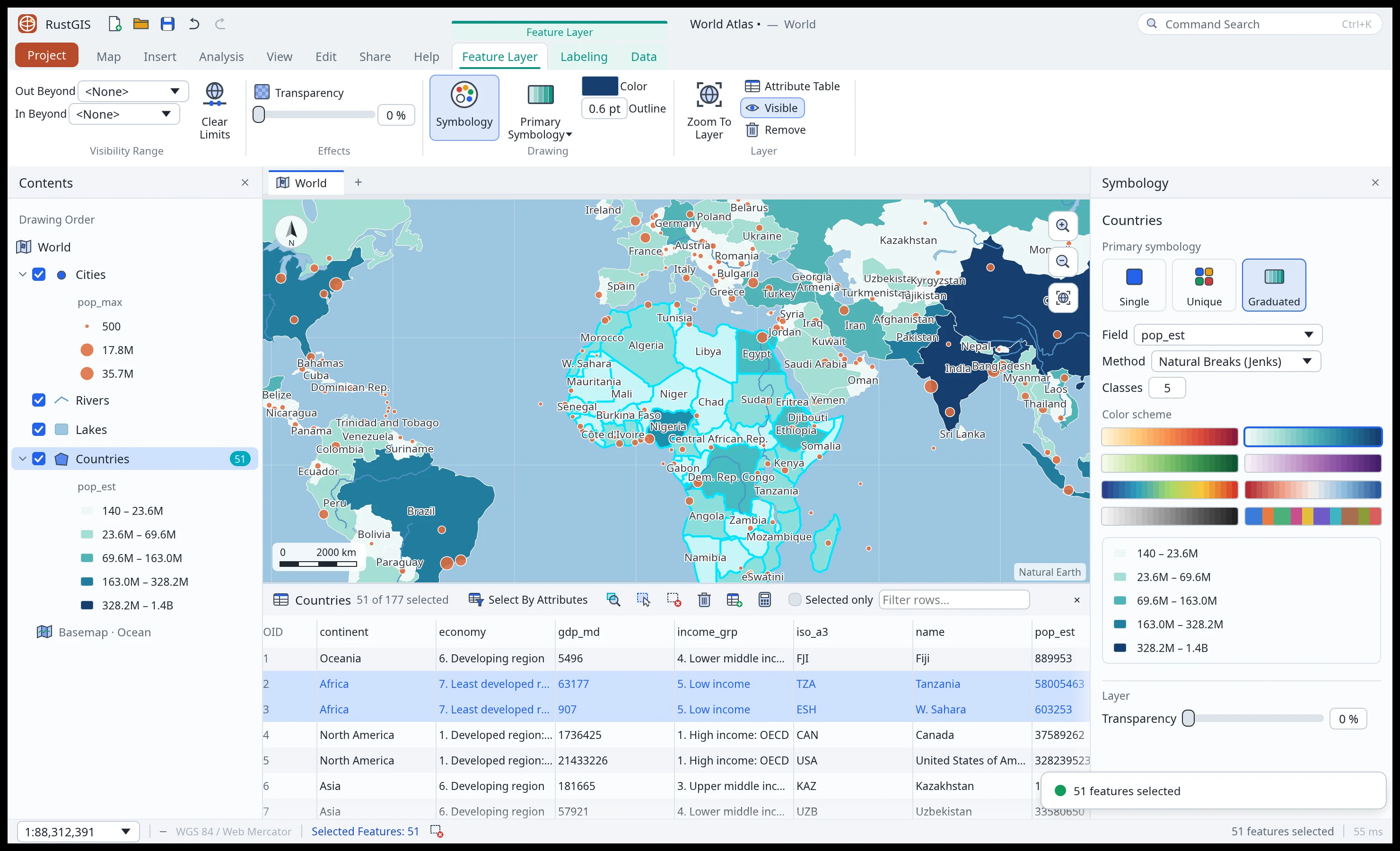
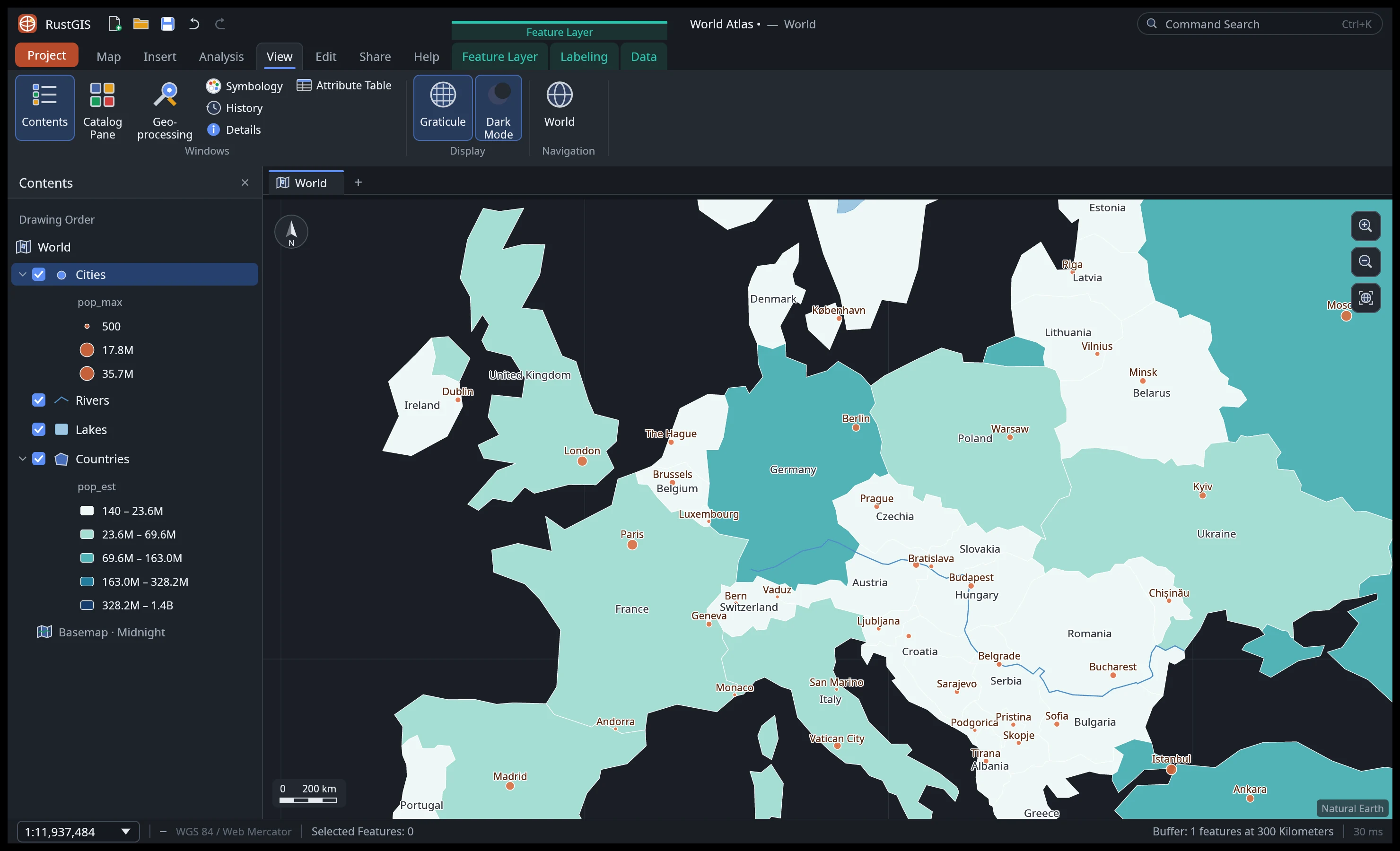
- Ribbon workflow: Map, Insert, Analysis, View, Edit, Share and Help tabs, plus a contextual Feature Layer tab group (Feature Layer, Labeling, Data) when a layer is selected.
- Your data: GeoJSON, CSV with longitude/latitude, and Shapefile in; GeoJSON and CSV out.
- Cartography: single symbol, unique values, graduated colours (natural breaks, equal interval, quantile) and proportional symbols; eight colour schemes; collision-free labels.
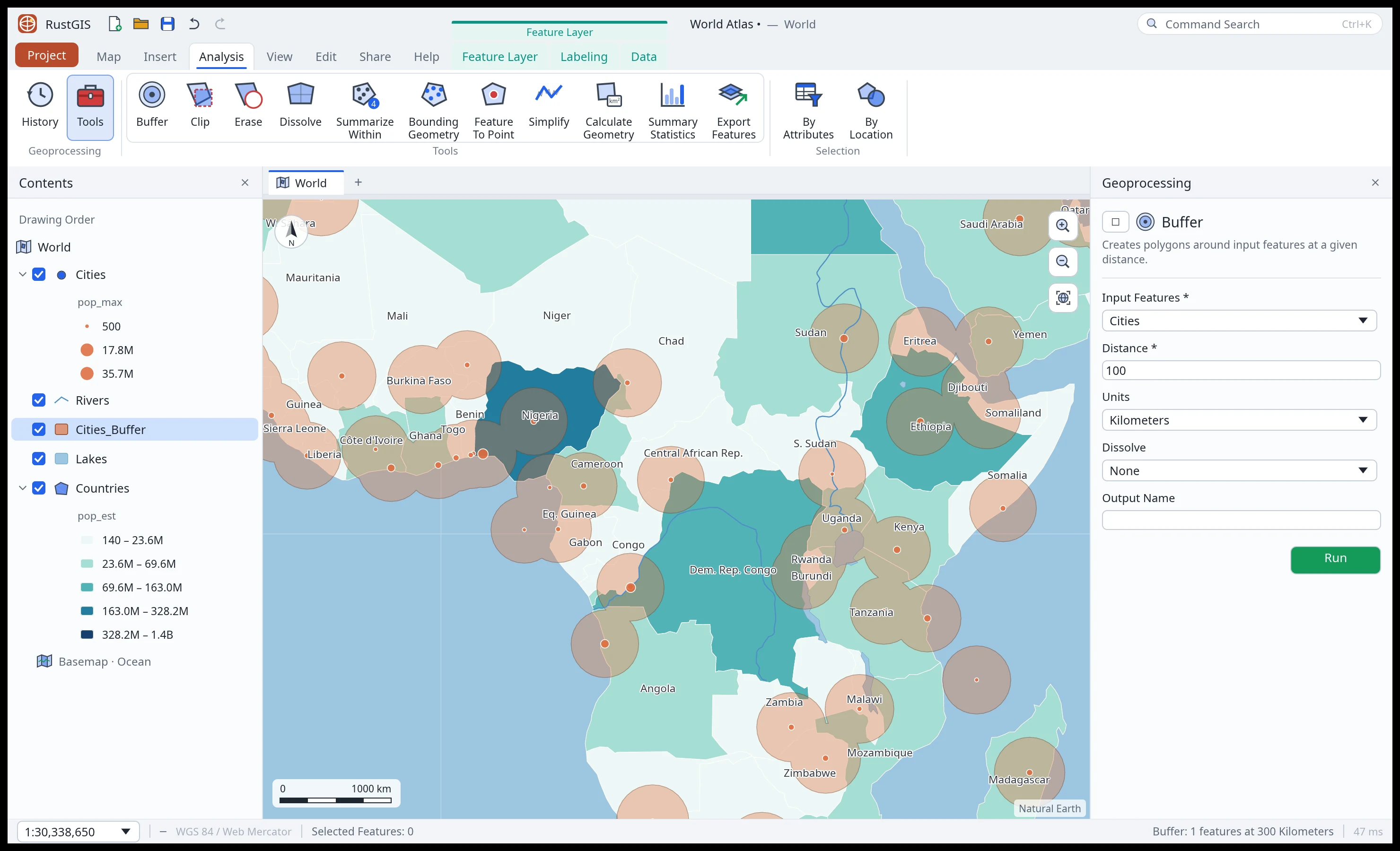
- Analysis: Buffer, Clip, Erase, Dissolve, Summarize Within, Summary Statistics and more, with a run history.
- Editing: create and delete features, edit attributes in the table, add and calculate fields, with undo for everything.
- Scriptable:
rustgis-cliruns any command by id, renders maps to PNG and chains tools.
A tour